

Supporting Local News

Published:
-

-
Author: Our Reporter
~ 2 minutes read

Galway County Council has received national recognition for an innovative digital project that mapped over 40,000 graveyard memorial records across County Galway and made them publicly available online.
The ‘Digitising Galway’s Graveyard Heritage’ project was last night (Thursday) named overall winner of the ‘Community Engagement’ category of Esri Ireland’s annual ‘Customer Success Awards’ held in Dublin.
Working with and supported by Galway Rural Development, Forum Connemara, The Heritage Council, The National Monuments Service and Galway County Community Archaeology Service, Galway County Council provided funding to local groups to employ experts to train local communities to use mobile technology and to undertake drone mapping of graveyards resulting in a public release of 40,000 records from across the county via the Local Authority’s Open Data Portal.
This is the second national award to be picked up by the project after it was named winner at the Public Sector Digital Transformation Awards last October.
Outlining the background to the project, Barry Doyle, Geographic Information System (GIS) project lead for Galway County Council said, “We have been working with various community groups and organisations to collect and collating valuable data relating to those who are buried in various graveyards for several years.”
“Galway County Council, with funding from the Heritage Council, the Open Data Engagement Fund and its own resources developed and made available a mobile app specifically for use by surveyors at the local level for memorial surveys, along with associated data management and validation processes,” he added.
“This technology, along with drone technology, was made available to local community groups to expand the number of graveyards in the project resulting in the 40,000 records that are now publicly available.”
The Galway County Digital Mapping of Graveyards Project may be viewed at galwaycoco.maps.arcgis.com and data.gov.ie.
Pictured receiving the ‘Community Engagement’ award at Esri Ireland’s ‘Customer Success Awards’ are (from left) GIS Analyst Mackenzie Boland, IS Project Leader Barry Doyle, GIS Analyst / Developer Anthonin Lize, and GIS Technician Bridin Feeney of Galway County Council.
For more, read this week’s Connacht Tribune:
Connacht Tribune Digital Edition App
Download the Connacht Tribune Digital Edition App to access to Galway’s best-selling newspaper. Click HERE to download it for iPhone and iPad from Apple’s App Store, or HERE to get the Android Version from Google Play.
Or purchase the Digital Edition for PC, Mac or Laptop from Pagesuite HERE.
Get the Connacht Tribune Live app
The Connacht Tribune Live app is the home of everything that is happening in Galway City and county. It’s completely FREE and features all the latest news, sport and information on what’s on in your area. Click HERE to download it for iPhone and iPad from Apple’s App Store, or HERE to get the Android Version from Google Play.
More like this:

Digital trails showcase Connemara's Sheep and Wool Heritage
This article first appeared on Galway Bay FMTwo new self-guided digital trails have been launched...

Property Tax reform unlocks extra 3.4 million euro for Galway
This article first appeared on Galway Bay FMThe reform of the Local Property Tax has unlocked an ...
First steps for long-term masterplan for Oranmore's Renville Park
This article first appeared on Galway Bay FMThe first steps are being taken for a long-term maste...
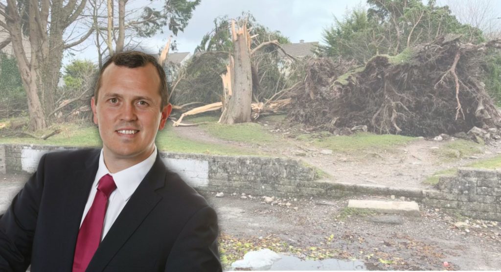
Local TD urges immediate publication of Storm Éowyn review
This article first appeared on Galway Bay FMA local Fianna Fáil TD is urging the government to im...

Junior Ministers highlight urgency of Coirib go Cósta Flood Relief Scheme for Galway City
This article first appeared on Galway Bay FMJunior Ministers Noel Grealish and Kevin ‘Boxer’ Mora...

Local TD 'concerned' for the future of Bearna wastewater infrastructure
This article first appeared on Galway Bay FMA local TD says he's concerned for the future reliabi...
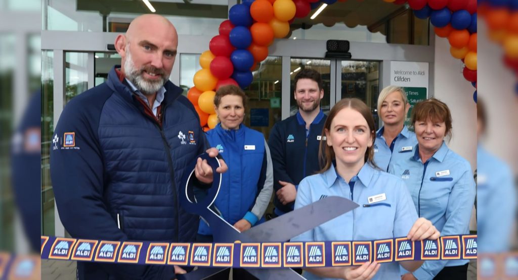
ALDI Clifden re-opens after six-month closure
This article first appeared on Galway Bay FMALDI is today reopening its store in Clifden today fo...
ALDI Clifden set to reopen tomorrow after six-month closure
This article first appeared on Galway Bay FMALDI is today reopening its store in Clifden today fo...

Aviation anniversary event to take place in Clifden
This article first appeared on Galway Bay FMThe re-enactment of an historic trans-Atlantic flight...