
Supporting Farming

-

-
Author: Francis Farragher
~ 3 minutes read
EFFORTS by Coillte to secure permission for the removal of an 850-acre plantation in west Connemara have failed with Galway County Council issueing ‘a refusal’ on environmental grounds.
The planning authority refused permission on the grounds that the proposed felling of the extensive plantation would have an adverse impact on the integrity of the Twelve Bens/Garraun Complex Special Area of Conservation (SAC).
Permission was being sought by Coillte Teoranta for the felling and removal of the 850 acres of conifer plantation for the purposes of peatland restoration and the establishment of native woodland.
It was also planned to implement measures to restore and rehabilitate a further 700 acres of Atlantic blanket bogland/heathland this is currently planted with Lodgepole pine and Sitka spruce and managed for commercial forestry.
Plans were also submitted for the control of existing invasive species on site and implement measures to prevent their spread. Permission was also sought for the resurfacing of around five miles of forestry roads and also the resurfacing of an existing car park.
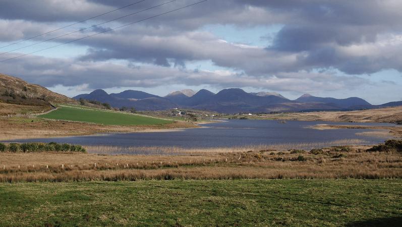
The site of the proposed development is located on the western side of the coast road approximately three miles to the north west of Recess. The application site is an existing Coillte conifer plantation which was planted in the 1960s. Sections of the site have been periodically harvested in the intervening years.
The total site area subject to the application is 850 acres but the approximate total site area under the ownership of Coillte is 1,400 acres. The site is accessed by a single vehicle width rough access track with a hardstanding area at the south of the gated access.
The access track also provides access for the fishing on the banks on Lough Derryclare. The site itself is not the subject of any designations but it sits immediately abounding The Twelve Bens/Garraun Complex SAC and proposed Natural Heritage Area (NHA).
The site drains into Lough Inagh and Lough Derryclare, which form part of this complex. The surrounding landscape is generally characterised by mountainous peaks and undulating slopes and is primarily rural in character with a few sparsely located private dwellinghouses in the vicinity.
The closest residential property is approximately 40 metres from the access point of application site. There is a substantial track of conifer planting to the east of Lough Inagh opposite application site. The surrounding low lying landscape is predominantly blanket bog.
In reaching their decision, Galway County Council stated that they consider that the adverse impacts of the proposal on the integrity of the Twelve Bens/Garraun Complex SAC and Connemara Bog Complex SAC and other European sites.
Therefore, if permitted, the proposed development would materially contravene the environmental policy objectives of the Galway County Development Plan 2022-2028, the planning decision states.
Pictured: Plantation lies adjacent to the famous 12-Bens.
For more, read this week’s Connacht Tribune:
Connacht Tribune Digital Edition App
Download the Connacht Tribune Digital Edition App to access to Galway’s best-selling newspaper. Click HERE to download it for iPhone and iPad from Apple’s App Store, or HERE to get the Android Version from Google Play.
Or purchase the Digital Edition for PC, Mac or Laptop from Pagesuite HERE.
Get the Connacht Tribune Live app
The Connacht Tribune Live app is the home of everything that is happening in Galway City and county. It’s completely FREE and features all the latest news, sport and information on what’s on in your area. Click HERE to download it for iPhone and iPad from Apple’s App Store, or HERE to get the Android Version from Google Play.
More like this:
Tanaiste pledges to raise potential Minor Injuries Unit at Merlin Park with Health Minister
Tanaiste Micheal Martin has pledged to raise the lack of a Minor Injuries Unit in Galway with Hea...

Dublin event to discuss crafting connections between Galway and Dublin
Galway Chamber is to partner with Galway Convention Bureau to host a discussion event in Dublin l...
Local councillor concerned expected Ash Dieback funding won’t include roadside ash
Loughrea area councillor Geraldine Donohue says she is ‘cautiously optimistic’ over f...

Poor take-up in County Galway for national business support grant
Only twenty nine per cent of businesses in County Galway have signed up so far for a once-off gra...
Oughterard Post Office potentially facing closure later this year
Oughterard’s Post Office is potentially facing closure later this year. The building is set...
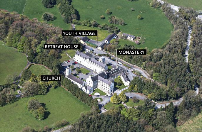
Former Esker Monastery and lands at Athenry on the market
In February 2022 the Redemptorist Order announced the closure of its Monastery at Esker, near Ath...

Hail and thunderstorms warning issued for Galway this afternoon
Met Eireann has issued a hail showers warning for Galway this afternoon. It’s anticipating ...
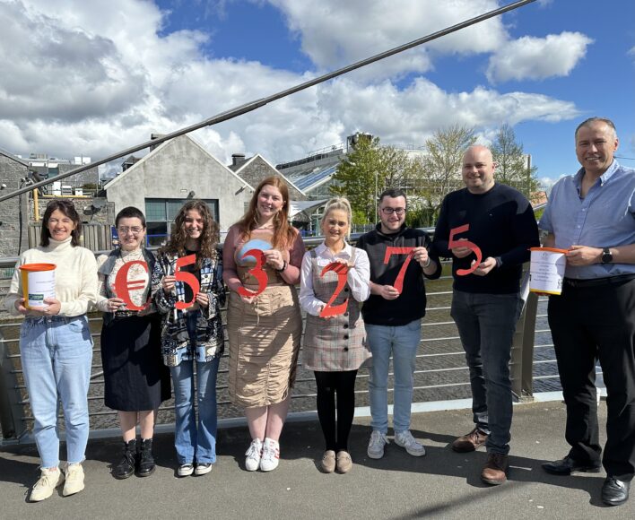
University of Galway Students’ Union raises record amount for charities
University of Galway’s Students’ Union has raised its highest-ever figure in a single year for it...
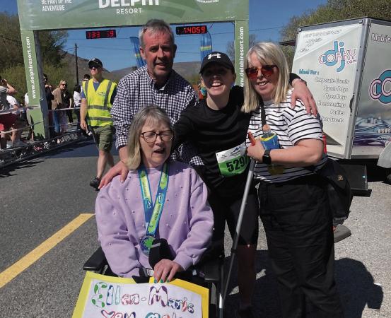
Daughter’s Connemarathon run raises €25,000 and counting in support of hospital units
An Irish dancing teacher who ran the Connemarathon for the first time has raised €25,000 to buy e...